
Astrolium ships parans as a default layer in the astrocartography map, not as a hidden advanced toggle, because the technique is incomplete without them. A paran is a horizontal band of latitude where two planets are simultaneously angular at the chart-holder's natal moment. Most consumer-grade apps skip parans entirely. Working practitioners do not.
Render the visual layer in the astrocartography map. Run the underlying planetary lines through the astrocartography calculator. Confirm shortlist cities with the relocation chart.
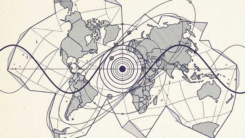
A paran in astrocartography is a horizontal latitude band where two planets occupy angular positions simultaneously in the chart-holder's natal moment, one on the Midheaven, IC, Ascendant, or Descendant while a second planet sits on a different angle. The Greek term paranatellonta means "rising alongside." Bernadette Brady formalized parans as a primary reading layer in her 1998 Book of Fixed Stars and her later astrocartography work, establishing the modern 1-degree orb convention (roughly 138 miles of latitude corridor, with the strongest expression in the middle 30 to 50 miles). Unlike planetary lines that target single cities, parans extend across every city sharing the latitude. A Jupiter-Venus paran at 41 degrees north runs through Madrid, Naples, Istanbul, and Beijing simultaneously. Astrolium's astrocartography map ships parans as a default layer rather than an advanced toggle, computing every paired-planet latitude band from your natal chart.
What parans are
The word paran comes from paranatellonta, an ancient Greek term meaning "rising alongside." In modern astrocartography it refers to a specific geometric coincidence: at one particular latitude on Earth, two planets simultaneously occupy angular positions in the chart-holder's natal moment. One planet might be on the MC while another is on the AC. Or one on the IC and another on the DC. The angles need not match; the simultaneity is the point.
Mathematically, a paran is computed from the natal chart and the chosen latitude. The longitude is free. Every city at the chosen latitude carries the same paran. A Jupiter-Venus paran at 41 degrees north runs through Madrid, Naples, Istanbul, Beijing, and every other city near that latitude. The Jupiter-Venus combination expresses in each city's local color, but the underlying angular pairing is identical.
Visually on an astrocartography map, parans show as horizontal bands or as labeled latitude markers along the map's left margin. The astrocartography map tool in Astrolium displays them as soft horizontal corridors, color-coded by the paired planets.
Parans vs line crossings
Practitioners new to parans often confuse them with line crossings. The two concepts are related but distinct.
A line crossing is a single point on the map where two planetary lines intersect at the same city. The intersection happens because the two lines, by coincidence, share both longitude (for MC and IC lines) or share an angular relationship at that exact location. Crossings are intense, localized, single-city events. A Venus-Mars crossing in Marseilles is unique to Marseilles.
A paran is a horizontal latitude band across which two planets are simultaneously angular. Parans are not localized to a single city. Every city on the paran latitude shares the angular pairing. A Jupiter-Saturn paran at 38 degrees north is shared by Lisbon, Naples, Athens, Tehran, Beijing, San Francisco, and every other city near that latitude.
The practical difference for client work: line crossings are recommendations for a specific city. Parans are recommendations for a band of cities. If the client is open about location but constrained by latitude (climate preference, family region), the paran reading is often more useful than the line reading.
The other practical difference is intensity. Line crossings tend to deliver concentrated effects at the exact intersection point. Parans tend to deliver more diffuse effects across the latitude band. Practitioners who lead with crossings often miss the wider paran patterns that affect multiple candidate cities.
The 1-degree orb convention
The standard working orb for parans is 1 degree of latitude on either side of the exact paran latitude. A Jupiter-Venus paran at 41 degrees 18 minutes north is read as active across roughly 40 degrees 18 minutes to 42 degrees 18 minutes north.
1 degree of latitude is approximately 69 miles (111 km). So the paran corridor is roughly 138 miles (222 km) wide, with the strongest expression in the middle 30 to 50 miles.
Some practitioners modify this convention. The most common modifications:
- Tighter orb for luminaries. Sun and Moon parans are sometimes read at 0.5 degrees, halving the corridor. The luminaries' speed (the Moon especially) makes their angular conditions more time-sensitive.
- Wider orb for outer planets. Some practitioners extend Uranus, Neptune, and Pluto parans to 1.5 degrees because the planets are slower and their effects are broader.
- Tighter orb for paran crossings near a planetary line. If a paran latitude crosses a city that also sits on a planetary line, practitioners often tighten the paran orb to avoid double-counting the angular emphasis.
The 1-degree standard is Bernadette Brady's. It is the most widely cited convention in modern paran-focused astrocartography practice. Practitioners working in the Lewis tradition sometimes use a slightly wider standard. Most working sessions use the Brady standard as the default.
Bernadette Brady's framework
Bernadette Brady formalized parans as a primary reading layer in her work in the 1990s. The Brady framework treats parans not as a supplement to planetary lines but as a parallel layer of equal weight. In some cases the paran dominates the reading.
The Brady framework also adds two refinements that practitioners adopt selectively:
-
Daily paran timing. Brady reads parans not just as static latitude bands but as time-of-day windows. A Mars-Jupiter paran is active at the latitude band, but it is most active at specific times of day when both planets are near their angular positions. Practitioners working with client travel timing sometimes use this layer; most session work does not require it.
-
Fixed star parans. Brady's earlier work integrates fixed stars with planetary parans. A planet paranned with a notable fixed star at a particular latitude takes on the fixed-star signature in addition to the planetary one. This layer is more specialized and is typically reserved for clients with significant existing astrology background.
For practitioners encountering parans for the first time, the Brady framework is the most coherent and most widely taught. Her books on the topic remain the standard reference.
The other practitioner often cited in paran work is Robert Hand, whose earlier essays on relocation introduced parans to American practice. Helena Woods and Martin Davis have written more recently on the integration of parans with modern relocation work. Erin Sullivan's work on relocation also treats parans as a default reading layer.
Reading parans in a client session
A working session structure when parans are in play:
Intake. Birth data confirmed, current location confirmed, candidate locations or latitude preferences identified. Note whether the client is asking about a specific city (line work) or about a region (paran work).
Map scan. Render the full astrocartography map with parans displayed. Note any tight parans (within 0.5 degree of exact) at the latitudes the client is considering. The astrocartography map tool ships parans as a default layer.
Paran identification. List the active parans within the 1-degree corridor of each candidate latitude. For each paran, note the two planets, the angles they occupy, and the exact latitude.
Paran interpretation. Read each paran as a planetary combination expressing across the latitude band. Jupiter-Venus parans tend to express as expansive social and aesthetic patterns. Saturn-Mars parans tend to express as disciplined effort or as adversarial pressure. Pluto-Sun parans tend to express as power and identity transformation.
Latitude vs longitude weighting. If the client's candidate city sits on a tight paran but far from any planetary line, the paran dominates. If the city sits on a tight planetary line but far from any paran, the line dominates. If both are present, the combined reading is often the strongest signal on the map.
Cross-reference with the astrocartography compare tool. When the client has multiple candidate cities at similar latitudes, the comparison tool helps distinguish how each city's specific longitude modulates the shared paran signature.
Cross-reference with the astrocartography power zones tool. Power zones identify the 12 strongest line crossings within 250 km. Where a power zone overlaps with a tight paran, the combined effect is typically the most concentrated location on the chart-holder's map.
Recommendation. State the paran clearly, name the planetary combination, name the latitude band rather than a single city, and let the client choose among cities within the band. Parans tend to widen the practitioner's recommendation set, which is part of their value.
Follow-up. Parans tend to express across longer time horizons than the line work alone. Schedule the standard 3 month and 12 month follow-ups, but expect paran themes to compound across years rather than to manifest quickly.
For the full context on lines, angles, and combination readings, see the astrocartography hub. For individual line guides that often interact with parans, see Pluto, Saturn, Jupiter, and Venus.